A hidden world on the periphery of both my mind and the city I live in; always there, often overlooked.
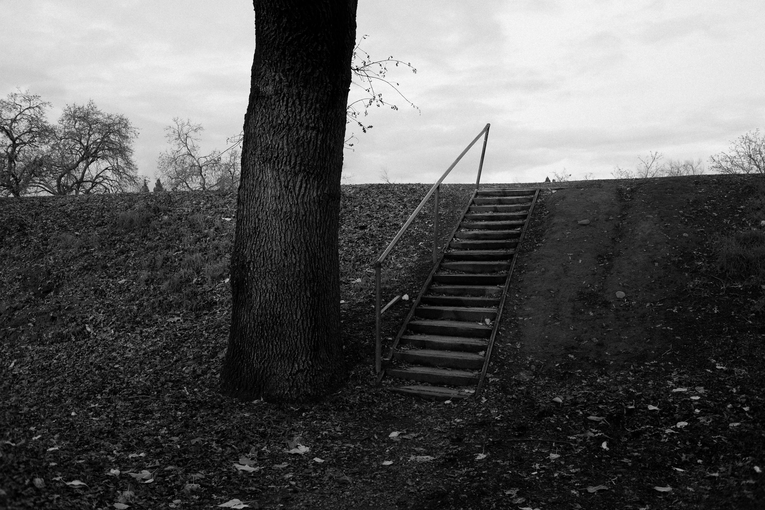

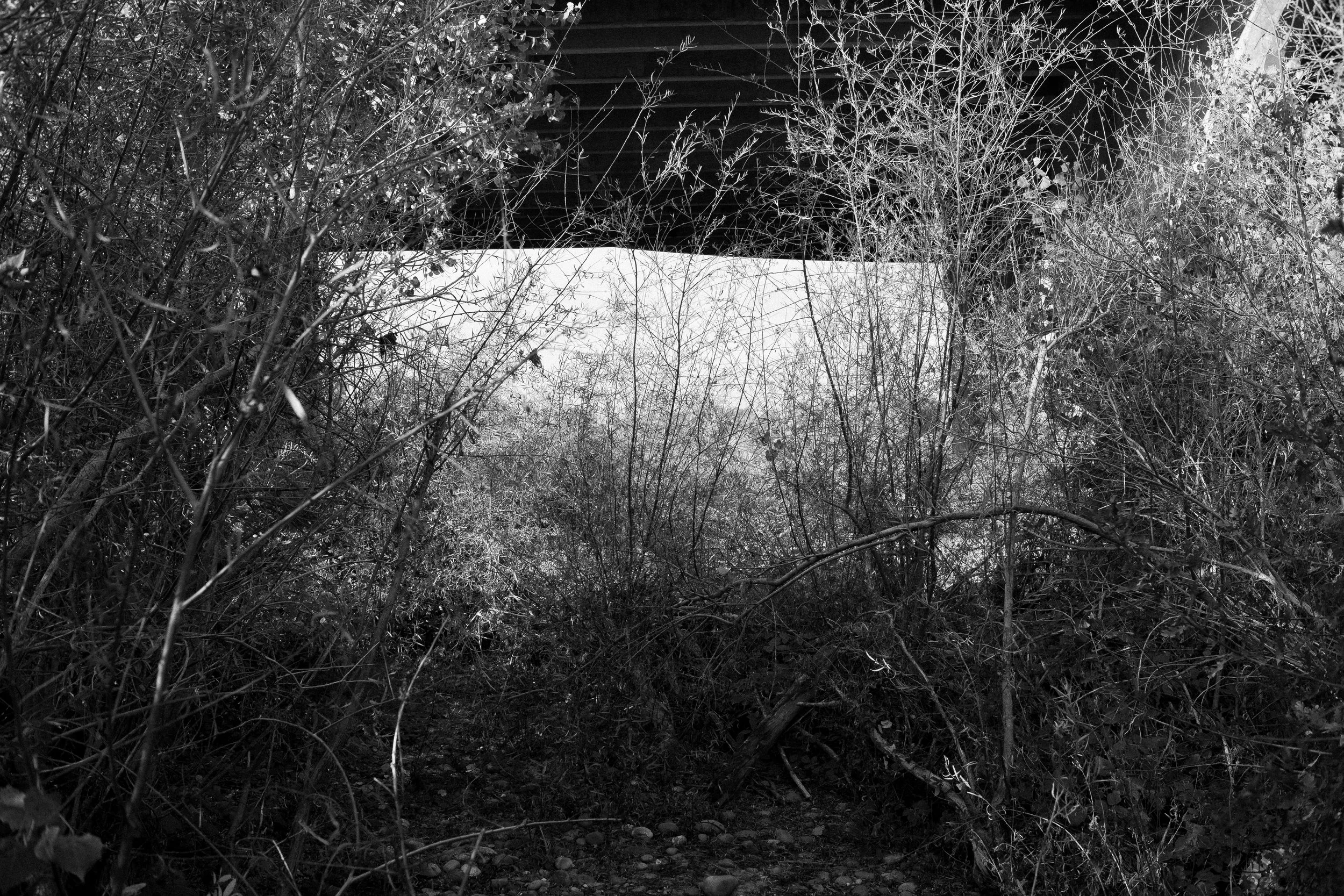

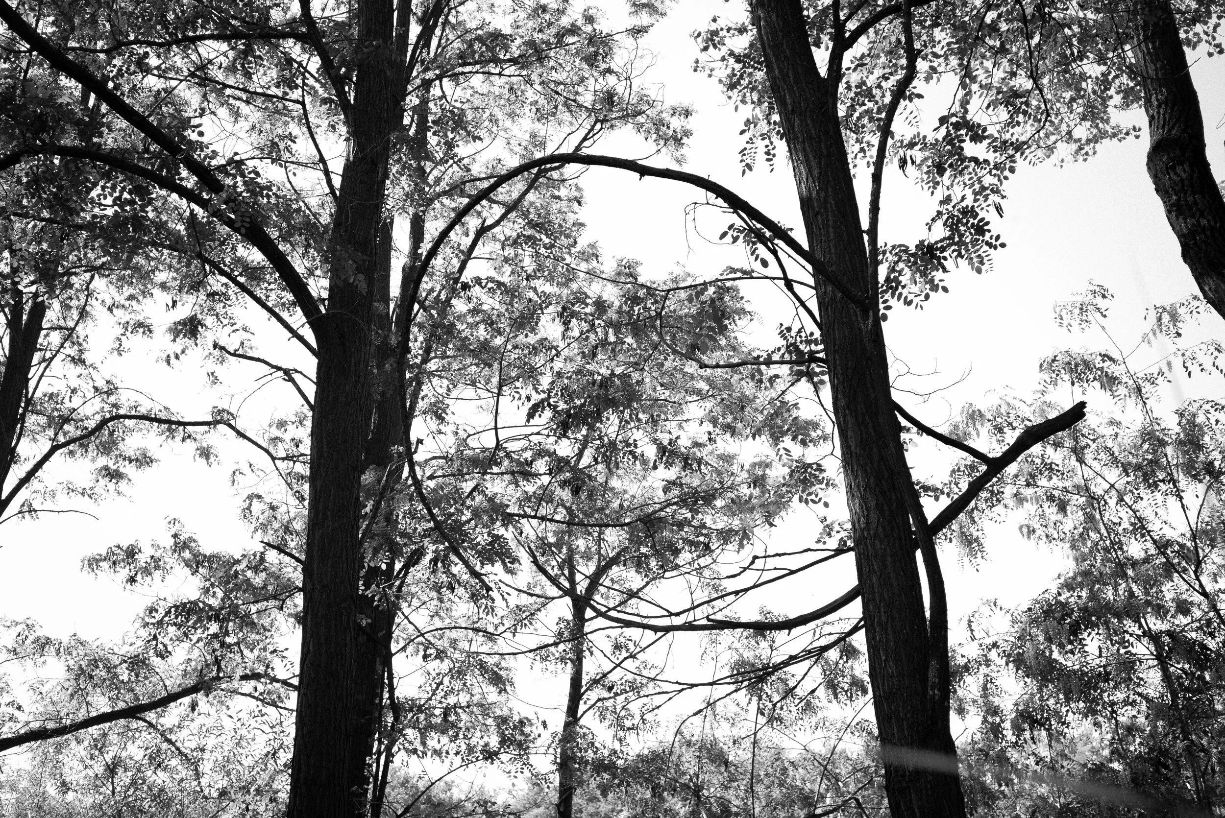

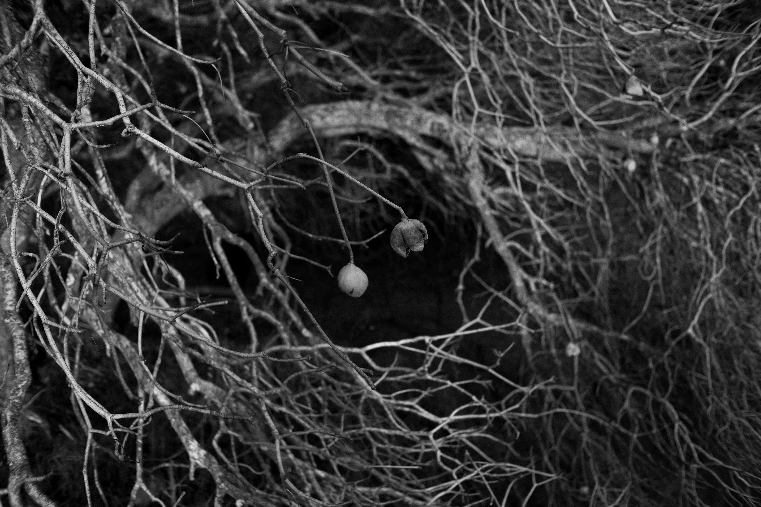
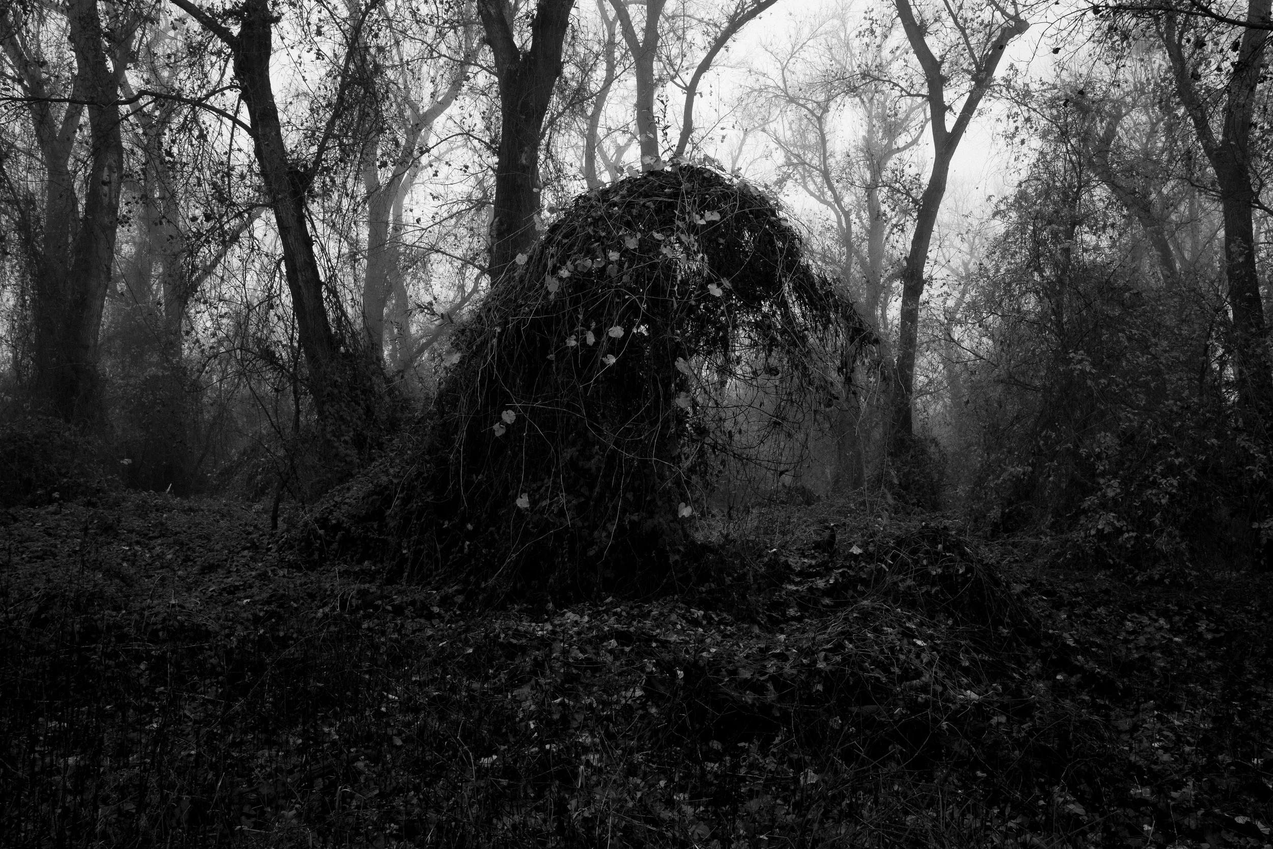
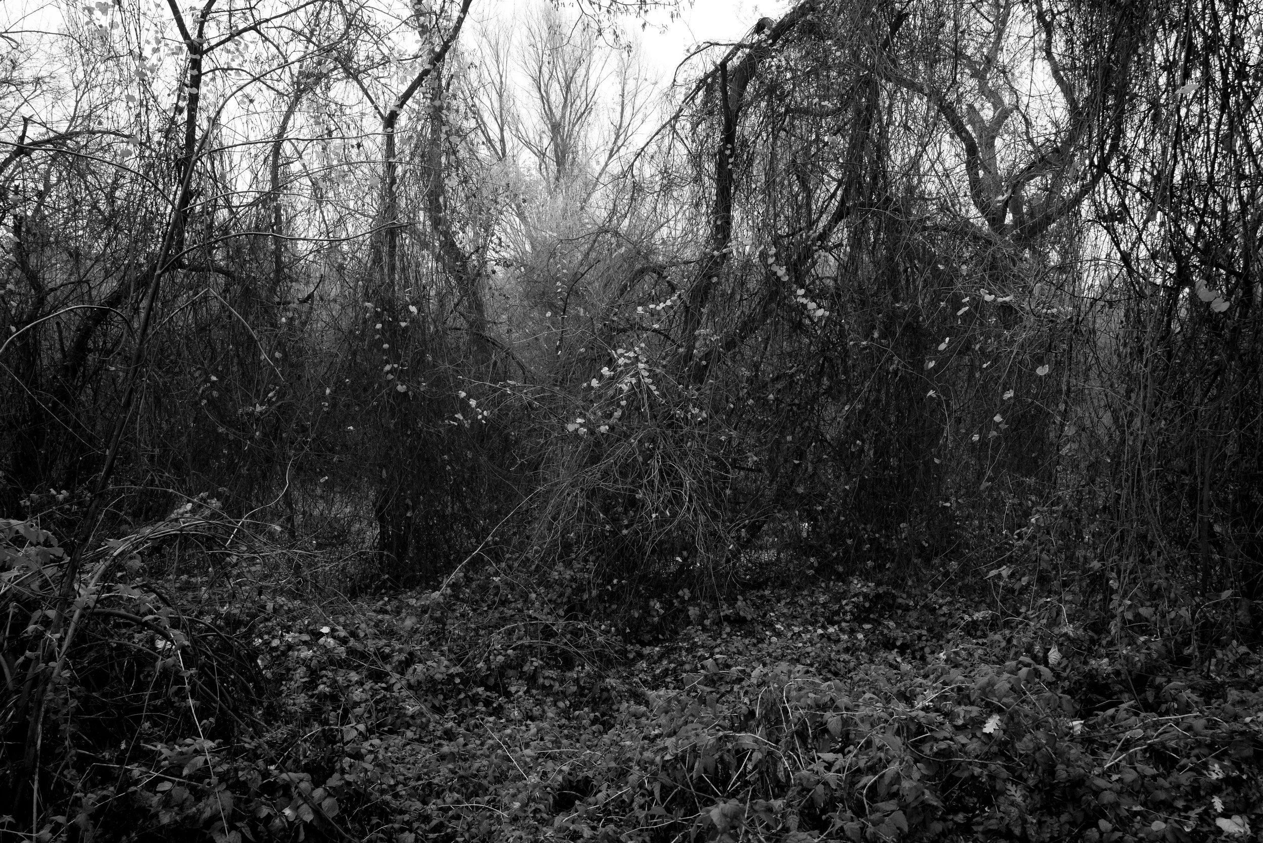
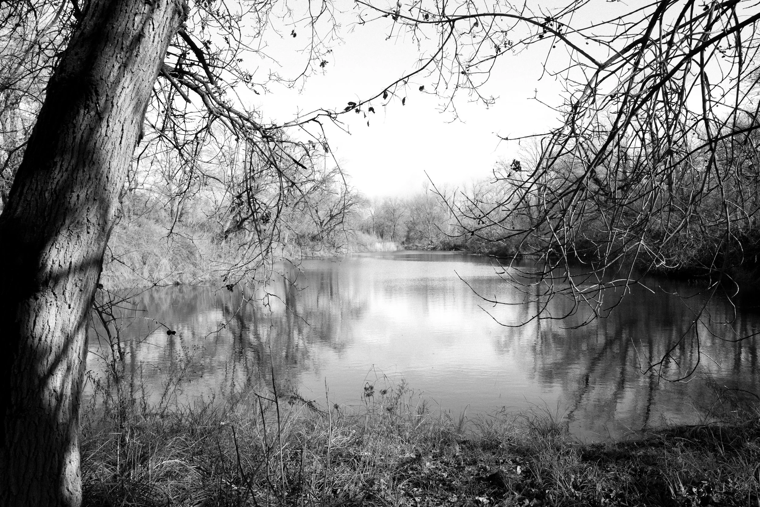

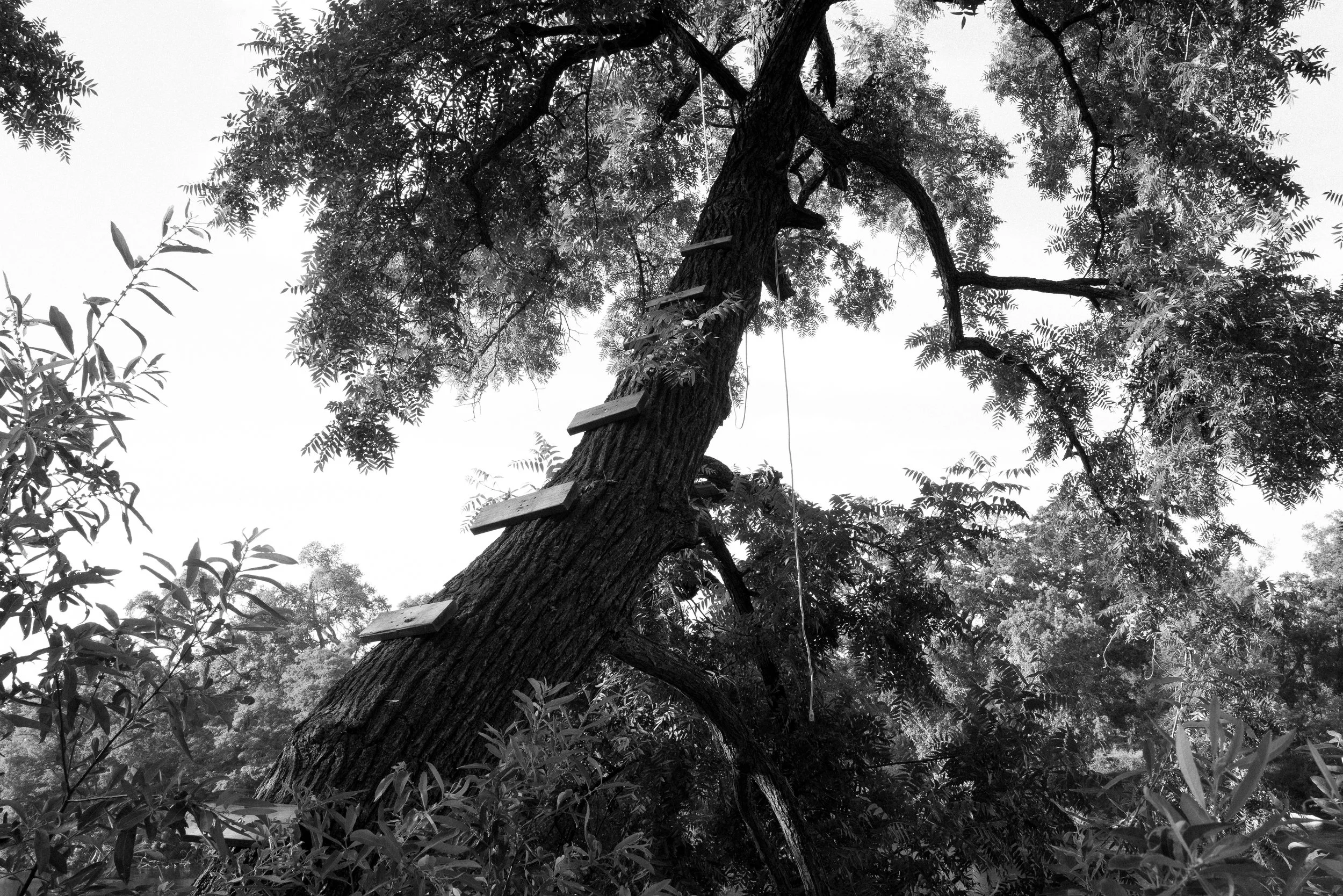
I escape the suburban redundancy by entering a forcibly secluded chaos of jam-packed overgrowth bursting at the seams. The seams: man-made levees for flood control on both sides of the winding river that run parallel with the echoing overpasses that divide these habitats into their own zones unintentionally. The unmarked paths provide confined open spaces to detach from it all. For brief moments, I can hear the gusts of wind shaking the leaves and tall grasses as they sway back and forth. Birdsong is exchanged up in the canopy while other critters rustle all around. Ducks float together in the ponds and lagoons. Seasons come and go while the faded hum of traffic and overhead power lines buzz all around; reminding me that I am not so secluded after all.