
- - - - - - - - - - - - - - - - - - - - - - - - - - - - - - - - - - - - - - -
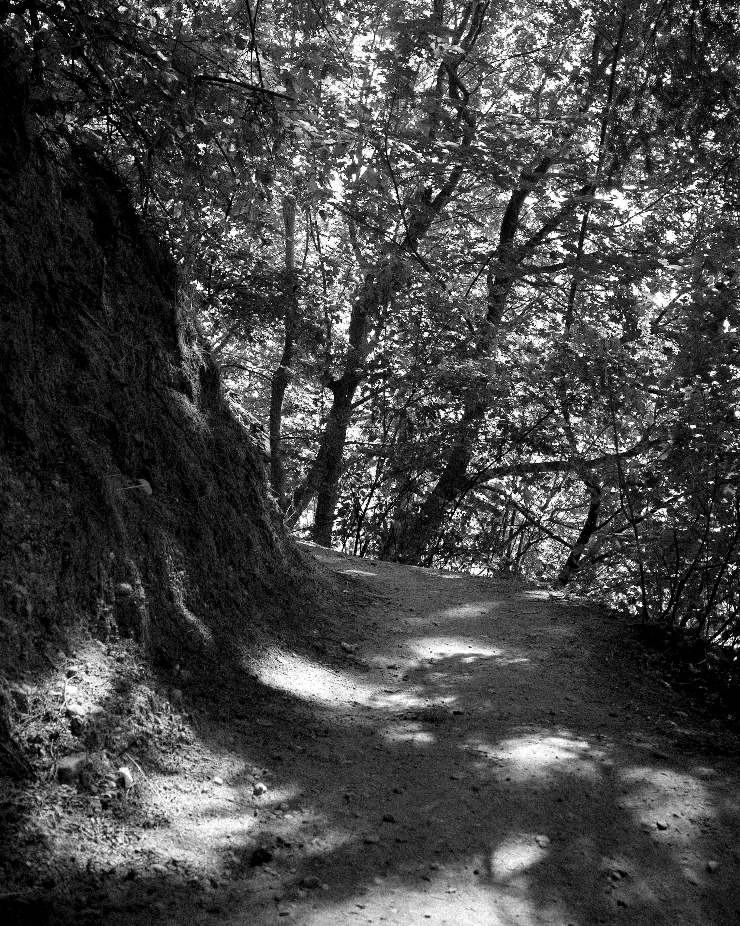
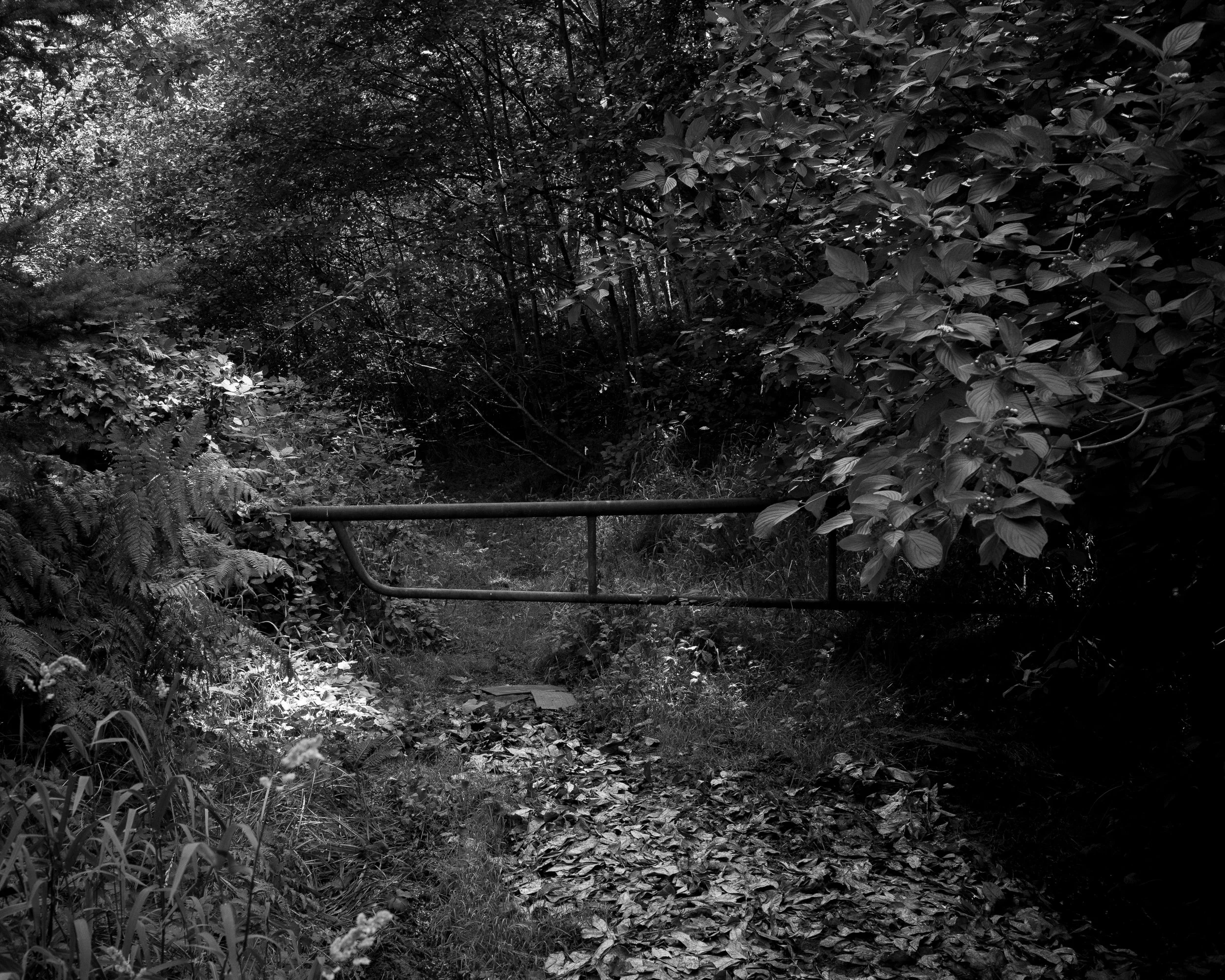
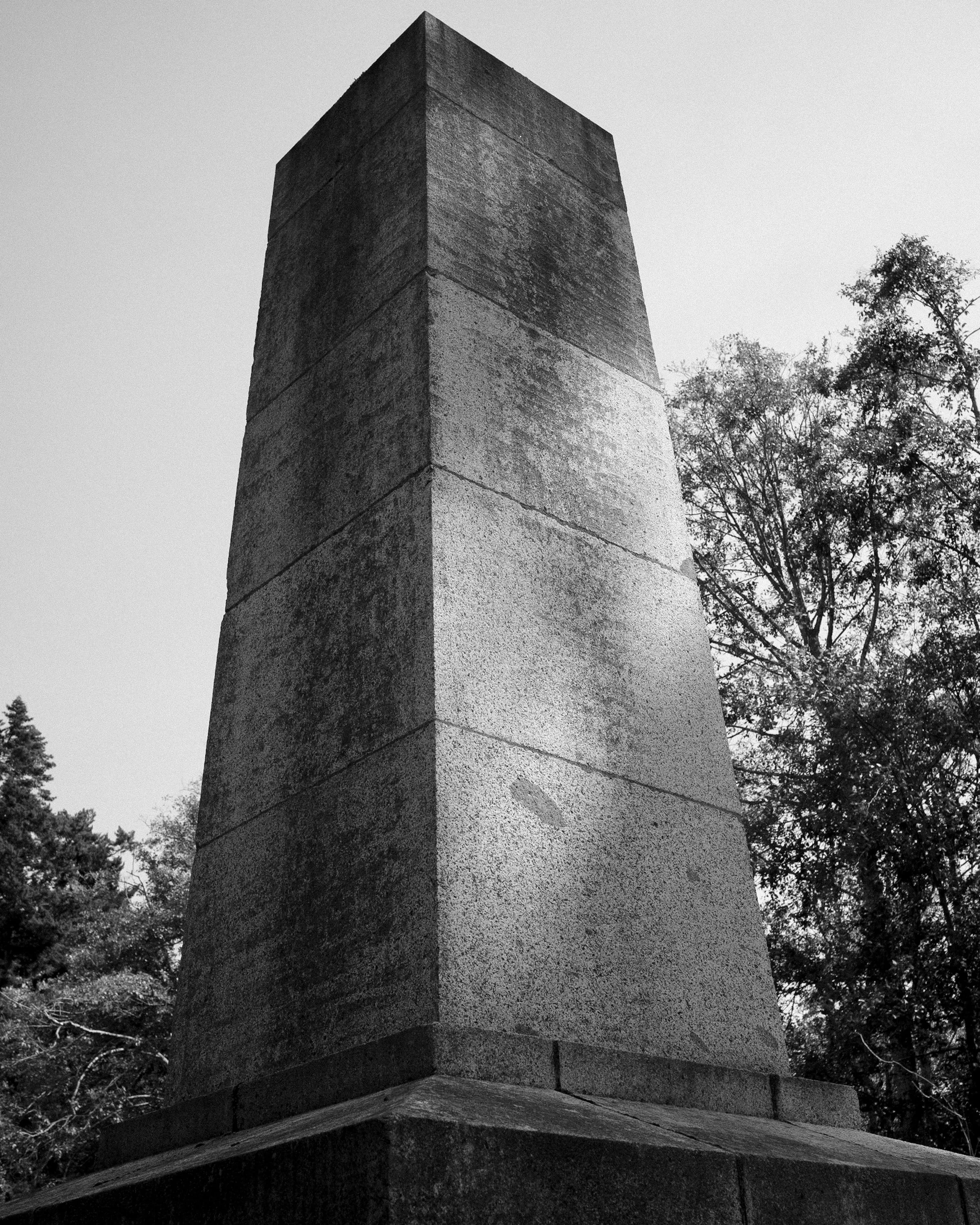
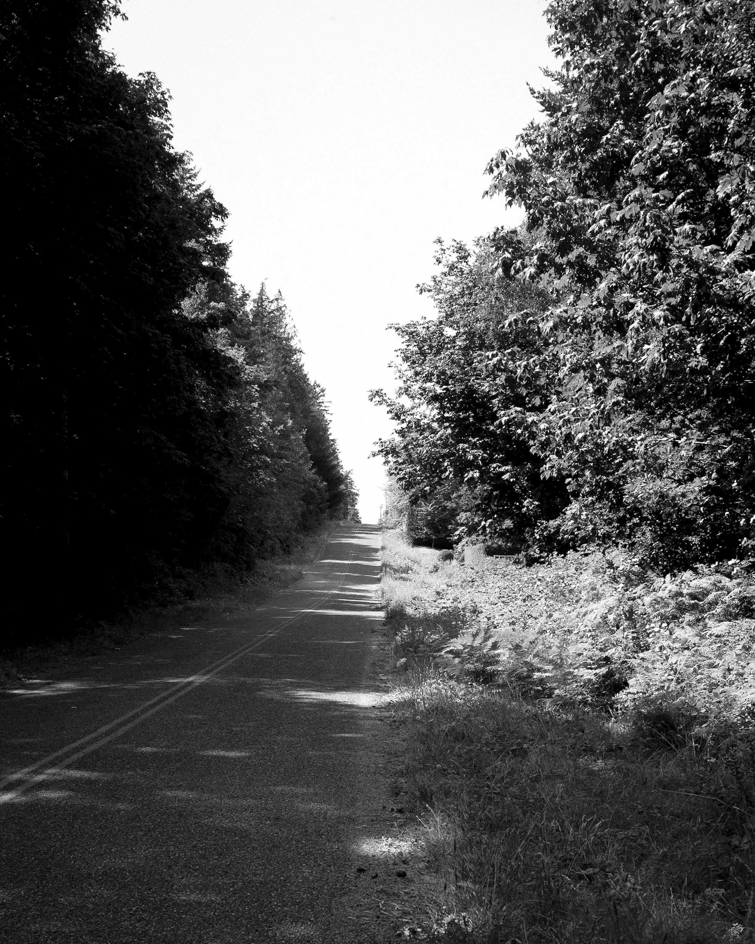
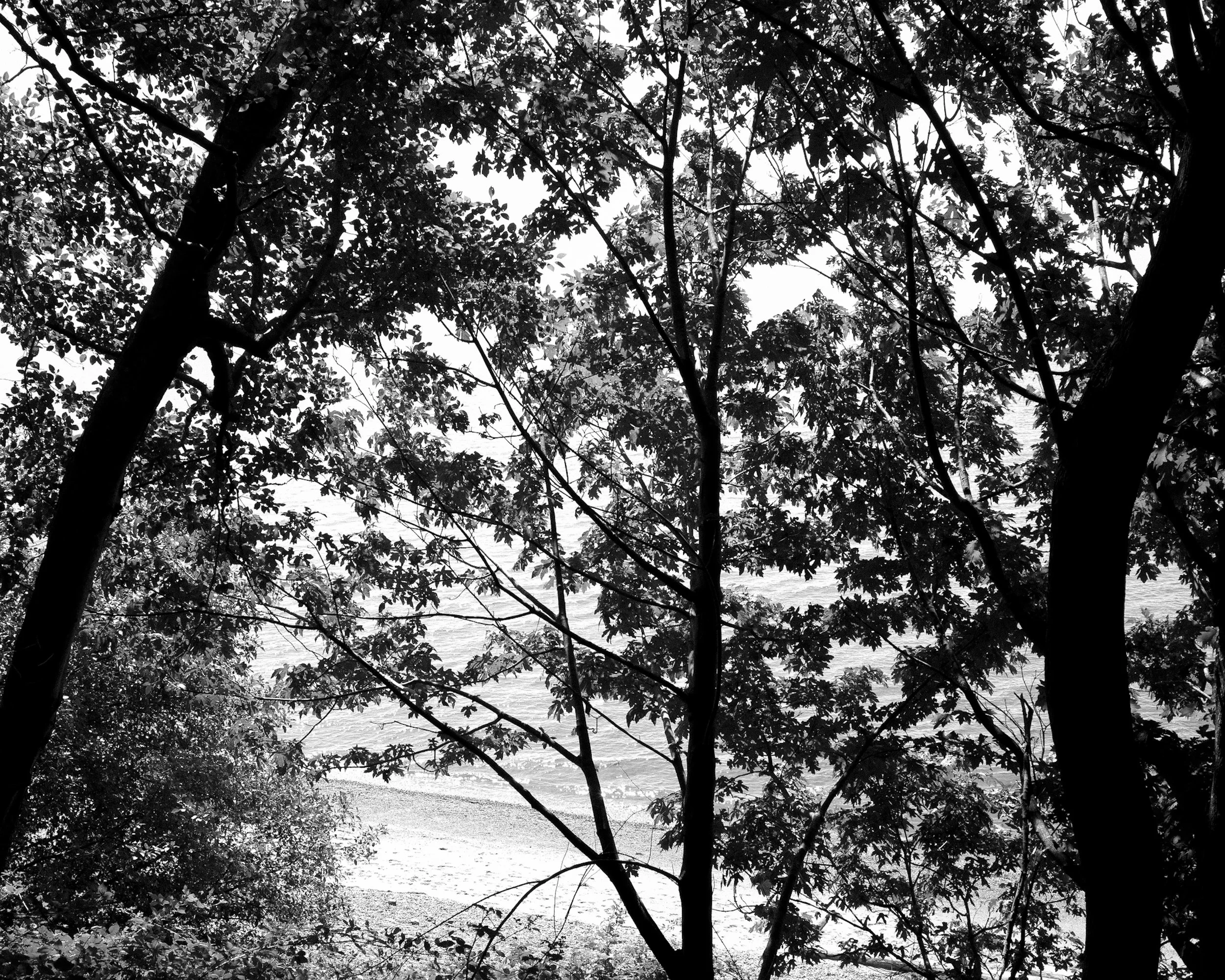
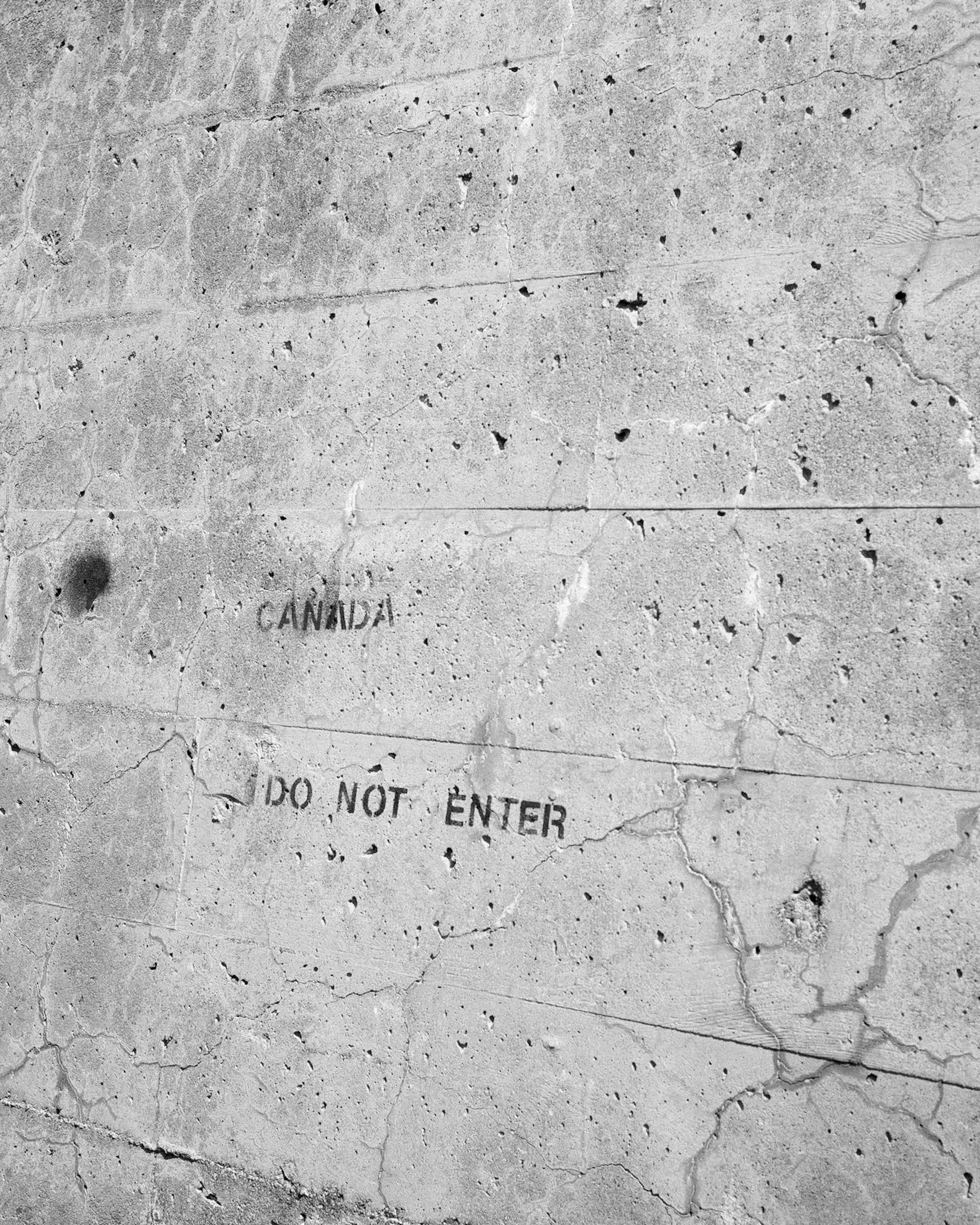
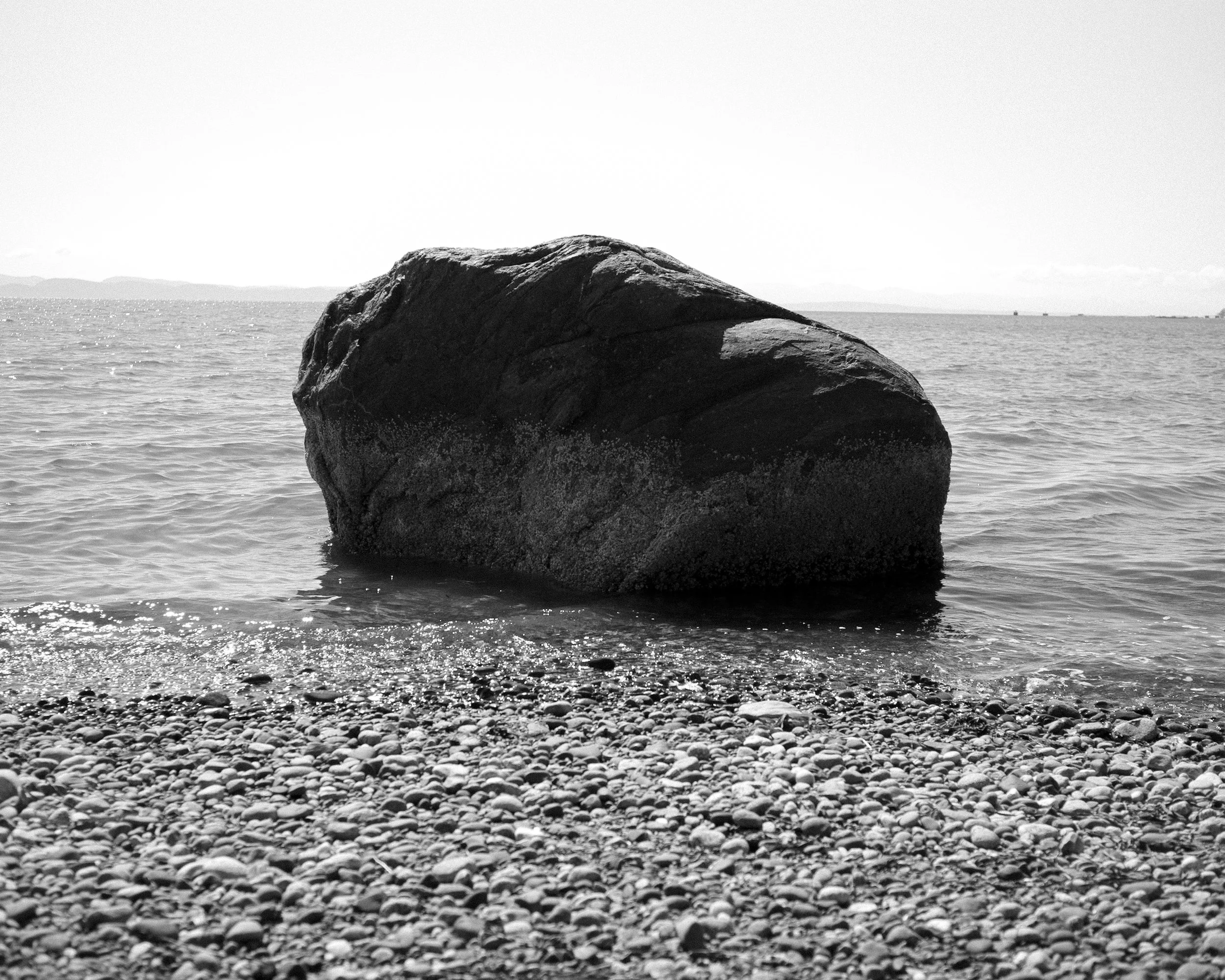
These photographs were taken in Point Roberts, a pene-exclave located in the southern part of Canada's Tsawwassen Peninsula. With this area falling south of the 49th parallel–an imaginary east-west line that also serves as the dividing line for the Canada-US border–it is oddly part of Washington State. While walking along the divide, I couldn't help but think of how some boundaries such as this one are merely lines drawn on a map..
click map to enlarge
source: University of Washington Libraries Map Collection: US Coast Survey Washington Sound and Approaches, Washington Territory, 1866